ABOUT THE PROJECT // THE PROBLEM
This spring, as I was training for my first marathon, I noticed a daily pattern: before every run, about fifteen minutes were spent just deciding where to go. Trackers accurately measure kilometers, heart rate, cadence, splits, but you still have to manually assemble the route—combining maps, other people’s tracks, and memory of where the traffic lights and stairs are.
TROPA is an application that answers the question, «Where should I run today?» before you even start.

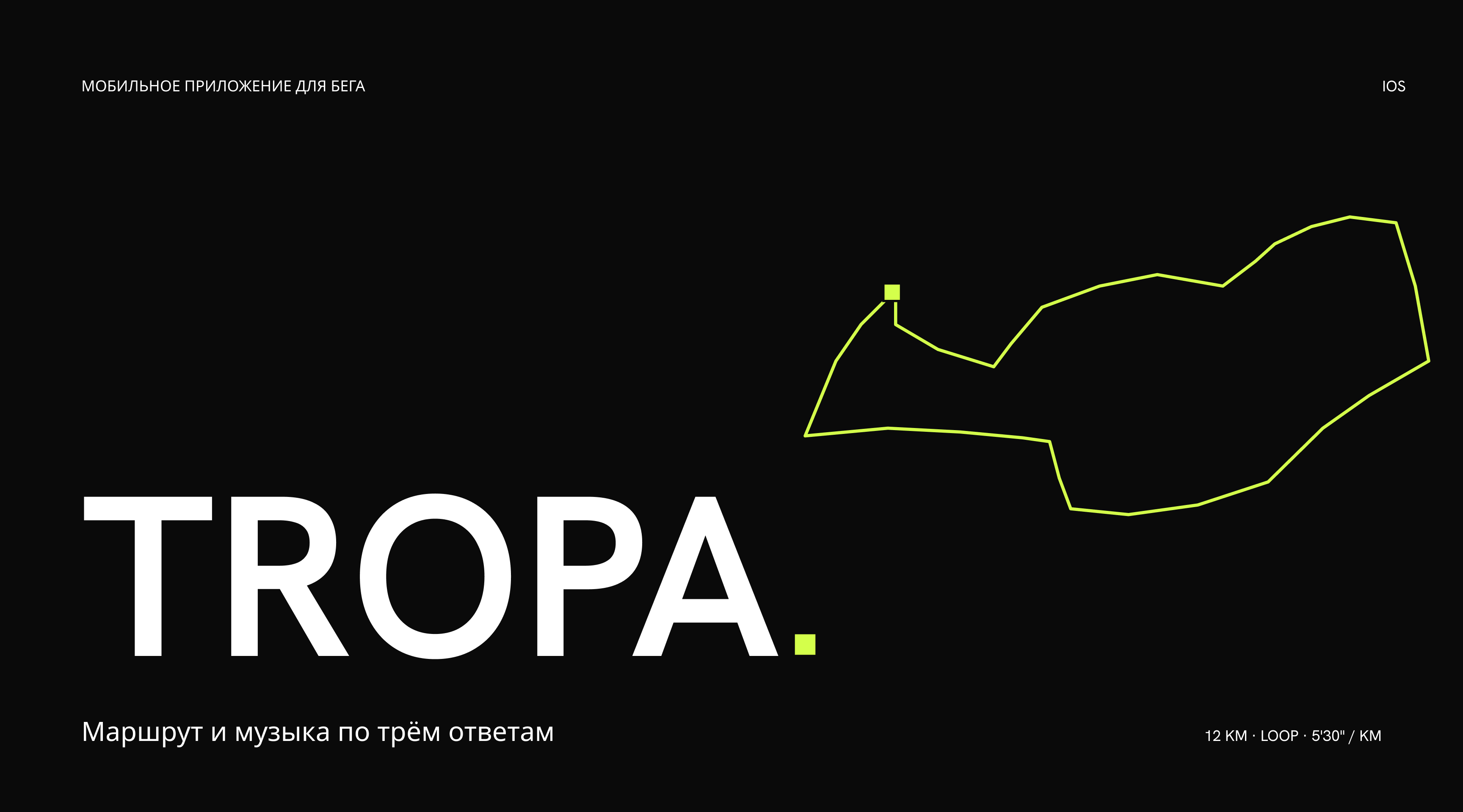
The logo is built directly from the product:
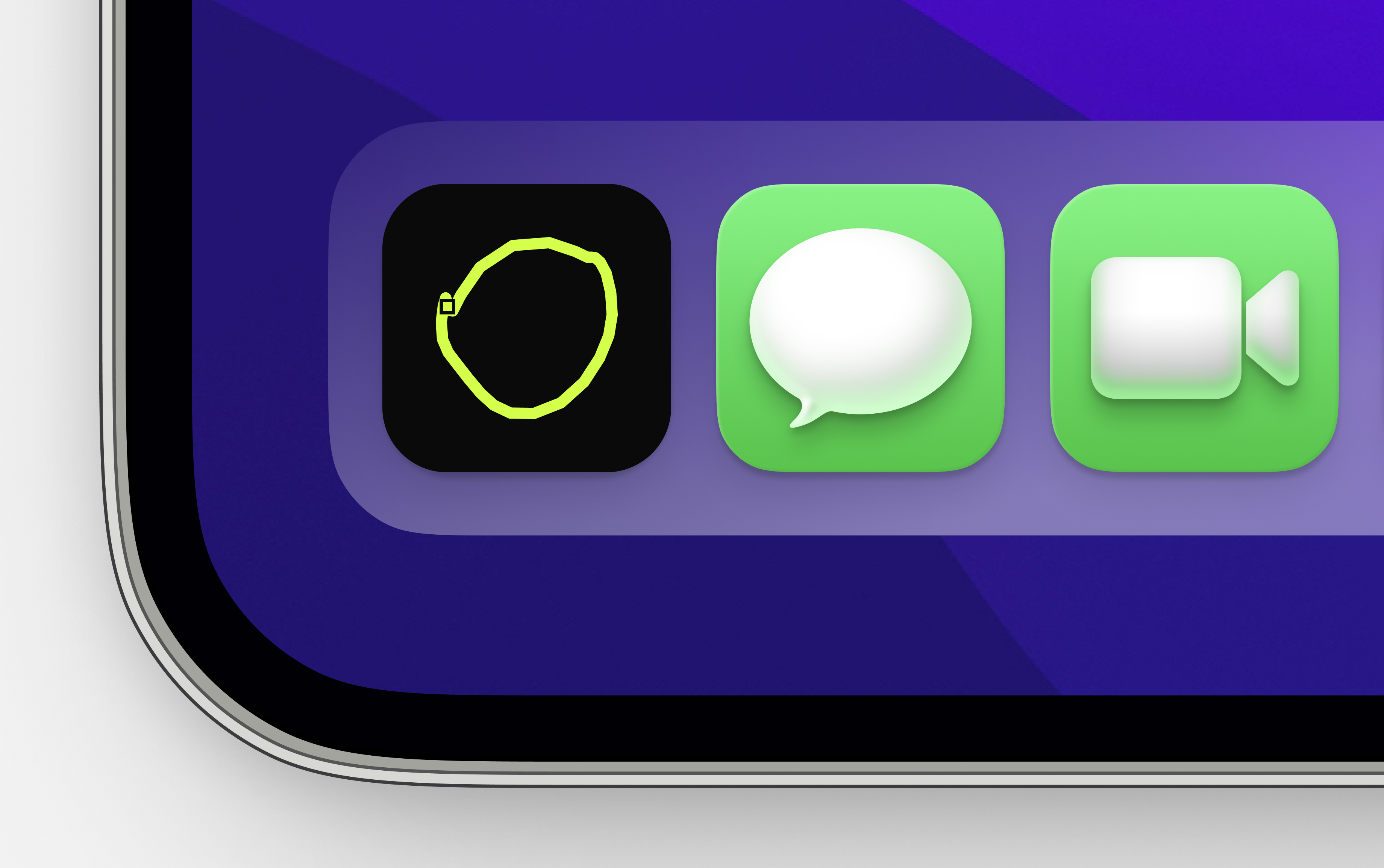
The letter O in the word TROPA—a real Sunday circle from M. Sportivnaya, smoothed into the letter shape. The square lime point—the start of the route. The app icon—the same O-shaped route on a black background.

Logo and Icon
PROBLEM SOLVER
The application asks three questions: how many kilometers, in a loop or point-to-point, and at what pace. Based on the answers, five pre-built routes through the city’s real streets are generated. Routes are ranked by obstacles—fewer traffic lights and stairs place them higher in the list. Loop routes take an alternate path so the road is not repeated.
A route can be generated without registration. Data is stored minimally and is encrypted.
FUNCTIONALITY
Route planning by parameters, playlist synced to cadence, GPS tracking with elevation profile and kilometer markers, and running summaries that refine future recommendations. Maps are powered by OpenStreetMap.
USER FLOW
From three responses to the finish line: settings → five options → selected route → run with music → summary. The playlist is an optional branch: the route functions even without music.
HOME SCREEN
The distance is shown with large numerals and a scaled gauge—like an instrument panel. Other parameters are displayed as horizontal lines. There is one lime accent on the screen: the scale slider. Typography is Hanken Grotesk 800, monochrome.
RUNNING SCRIPT
A through-line scenario featuring a single performer. Anya is preparing for a half-marathon, six weeks into the plan: a Sunday 12 km loop from the Sports Center, pace 5'30», cadence 178. The screens display five options—the route with kilometer markers, a 178 BPM playlist, the run itself, and the final summary.
MUSIC
A pace of 5:30 per kilometer is approximately 178 steps per minute. The application selects tracks with a matching BPM so that the music aligns with your stride, and opens a curated playlist in your preferred service: Spotify, Yandex Music, Apple Music, or YouTube Music. After your run, the actual cadence refines the following playlists.
MAPS
Routes are built using OpenStreetMap data: embankments, bridges, parks, traffic lights, and stairs. In the interface, the route is displayed as a schematic: a bold line, kilometer markers, and a square start point. The route can be tracked in real-time with all necessary metrics and the result can be saved.
The run and finish. On the left, distance, time, pace, and cadence are shown in real time. On the right, the summary displays the actual cadence of 176, which informs and refines subsequent routes and selections—closing the loop.